Historic Survey report: A Reconnaissance Survey of the Old Hailey Town Site
In February 2006, the City of Hailey (herein referred to as City) sent out a Request for Proposals (RFP) for a reconnaissance survey within the Old Hailey Town site which includes portions of the city’s commercial core, transitional areas, and residential neighborhoods. The reconnaissance survey was administered under a Certified Local Government Grant from the Idaho State Historic Preservation Office and the National Park Service (NPS). As part of the Hailey Historic Preservation Commission (HPC, at the time), the City applied for federal funds that were matched with cash, donated time, and materials from the City.
The purpose of the reconnaissance survey was to complete a basic inventory of the original town site that was platted between 1881 and 1882. The goal of the survey was to identify approximately thirty historic properties eligible to the National Register of Historic Places (NRHP) using criteria established by the NPS (1991 U. S. Department of the Interior). Information gathered from the survey has assisted the City of Hailey with preservation planning and the identification of areas for additional survey work. Historic sites that are individually eligible; historic sites that may contribute to a potential historic district or neighborhood conservation area; and multiple properties that relate to a particular time period or theme were identified through this investigation.
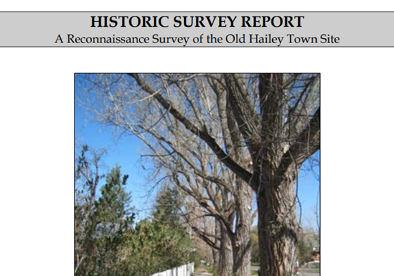
The results of the survey identified approximately 450 historic sites during the initial windshield survey of Old Hailey. Due to time, funding, and logistic constraints, the selective reconnaissance survey focused on certain commercial and residential areas east of Main Street in order to focus on 30 properties needed for formal documentation for the CLG grant. The survey did not concentrate on any of the previously recorded properties on Main Street or any of the buildings situated west of Main Street along River Street or the streets that run perpendicular to River Street west of Main Street with the exception of the former Hailey Supervisor’s Office complex known as the Sawtooth Center LLC or Site 40. The reason Site 40 was selected during this investigation was due to a situation that developed during early May that involved the recent sale of the property and subsequent removal 80 year old conifer trees adjacent to Main Street. At the request of Hailey HPC Chair Denise Jackson, Walsworth documented the historic buildings at the site in case buildings are demolished in the near future.
Most of the sites recorded during this investigation represent a cross section of the types of historic properties available for study in old Hailey. The greater part of structures identified in the survey are residential buildings however some are commercial or places of public worship or gatherings. The majority of buildings were built prior to 1920 and constructed during three main phases of Idaho history; the Settlement and Territorial Development period 1855 to 1890; the Early Statehood period from 1890 to 1904; and the Beginning New Century from 1904 to 1920. Most of the buildings identified during the investigation were from the early time period. Many are wood frame structures that are clad in ship-lap siding, tongue and grove siding, shingle, board and batten, log, brick, synthetic materials, formed stone, stucco, or a combination of the several materials.
Each site was photographed using a digital camera. Digital images were downloaded and saved to TIF files and later processed in a professional laboratory using standard technology to produce black and white images that are preserved long term on archival paper (cf. Appendix C). Site maps were prepared plotting locations on the historic Sanborn Fire Insurance map, a United States Geological Service (USGS) quadrangle map, and the City’s Zoning Map. Basic characteristics of the site were recorded such as building materials, plan, estimated age, and assessing the eligibility of the properties in terms of the NRHP. All of this information was entered into a computerized data base which was designed using Microsoft Access by Belinda Davis of the Idaho SHPO in 2001 and revised in 2005. The IHSI Form includes basic information such as property name; street address; legal description including UTM coordinates; tax parcel number; and block and lot number, and NRHP eligibility status.

